American River Basin
Stormwater Resource Plan
Web Map
 Layers
Environment
|
303(d) List and TMDLs (2014-16 List) |
|
|
Critical Habitat |
|
|
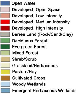
Land Cover |
|
|
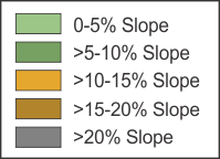
Slope |
|
|
USGS Topo Maps |
|
|
Watersheds (HUC8) |
|
|
Wetlands |
Subsurface
|
Depth to Groundwater (Spring 2016) |
|
|
Soil Details (appears in the map center) |
|
|
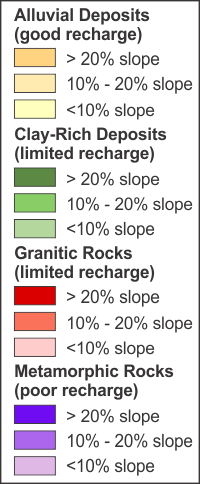
Geology-Slope Zone |
|
|
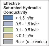
Soil Hydrologic Groups |
Potentially Contaminated Sites
|
EnviroStor (June 2017) |
|
|
GeoTracker (June 2017) |
Protected Areas
|
Conservation Easements |
|
|
Open Space, Parks, & Protected Lands |
|
|
Protected Areas |
Boundaries and Infrastructure
|
ARB Boundary |
|
|
Cities (2010 Census) |
|
|
Counties |
|
|
Disadvantaged Communities (CalEPA) |
|
|
Disadvantaged Communities (DWR) |
|
|
Public Schools |
|
|
Storm Drains |
Distance (feet): 0
Area (acres): 0
Download the American River Basin
Storm Water Resource Plan
Help